 Northwest Indiana Watershed
Northwest Indiana Watershed![]()
What is a Watershed?The highest point of land that divides the area by one stream from that of another stream. On either side of this boundary, moisture from rain, snow, and other sources run into a different drainage basin. Large watersheds have many tributary rivers and streams flowing into them. Watershed is also the name of the area drained by a river system.
About Our Watershed...
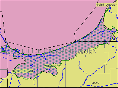
Related Sites:Northwest Indiana belongs to the Grand Calumet watershed, which is approximately 24 kilometers (15 miles) southeast of Chicago and encompasses parts of Lake and Porter counties. Municipalities include the City of Hammond, the city of East Chicago, the city of Gary, and the city of Whiting.
Deep River
Lake George
Turkey
Creek
USGS Records